Kaiser-Wanderung
Path number: 10 - Wanderweg
Starting place: 4725 St. Aegidi
Destination: 4725 St. Aegidi
St. Aegidi 10
4725 St. Aegidi
4725 St. Aegidi

This hiking trail has the trail number 10.
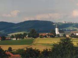
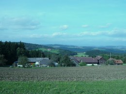
We start the hike from St. Aegidi on the old church path in the direction of Kößlau. We cross the Sauwaldstraße there, walk through a part of the village of Steinedt and then cross the road again. On a path along the edge of the forest, we reach the road again to continue the hike on the right-hand side through a mixed forest. Once we reach a farm track, we turn right and follow it until we reach Reiting, the highest village in the municipality.In Reiting, we turn right onto a meadow path and then follow a beautiful forest path to the farmhouse known as "Kaiser".
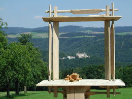
We take the farm track downhill, turn right at the crossroads and continue via Zimmerleiten, past the village chapel. Before we return to the village, it is worth enjoying the view of the Mühlviertel and St. Aegidi from a bench.
- Suitable for groups
- Suitable for schools
- Suitable for kids (3 - 10 Year)
- Suitable for single travelers
- Suitable for families
- Suitable for friends
- Suitable for couples
- Suitable for children
- Spring
- Summer
- Autumn
Please get in touch for more information.
St. Aegidi 10
4725 St. Aegidi
Phone +43 7717 7355 - 0
Fax machine +43 7717 7355 - 4
E-Mail gemeinde@st-aegidi.ooe.gv.at
Web www.st-aegidi.at
http://www.st-aegidi.at
Suggest changes
Please let us know how we can improve the quality of this object or if there is any incorrect information on this page (eg. opening hours, contact, etc.).
Fields marked with an asterisk (*) are obligatory


