Römerweg
Path number: 1
Starting place: 4723 Natternbach
Destination: 4723 Natternbach
Kirchenplatz 6
4723 Natternbach
4723 Natternbach

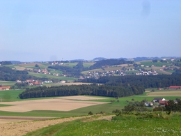
Hiking trail 1 Roman path
TIP:All Natternbach hiking trails have the same start and finish point. This means you can put together your own individual hiking route - e.g. by combining several trails. We are happy to help you with this!
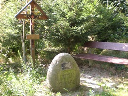
Places of interest: Viewing points, Gschaiderhaus (historic wooden house), Nöbauer cross,
Auinger cross, IKUNA nature resort
Catering along the route: in the main town: Café Bauer, Gasthaus Reifinger, Pizzbaria Viva,
IKUNA nature resort
Accessibility / arrival
by car:
Autobahn A8 to the Meggenhofen exit. Then continue via Grieskirchen and Peuerbach.
By train:
You can reach us via Peuerbach railway station, which is 7 km away.
Payment methods
Cash payment
- All weather
- Suitable for groups
- Suitable for schools
- Suitable for teenagers
- Suitable for seniors
- Suitable for single travelers
- Suitable for families
- Suitable for friends
- Suitable for couples
- Suitable for children
- Spring
- Summer
- Autumn
Please get in touch for more information.
Kirchenplatz 6
4723 Natternbach
Phone +43 7278 8255 - 13
E-Mail tourismus@natternbach.ooe.gv.at
Web www.natternbach.at
http://www.natternbach.at
Suggest changes
Please let us know how we can improve the quality of this object or if there is any incorrect information on this page (eg. opening hours, contact, etc.).
Please fill in all fields marked *.


