
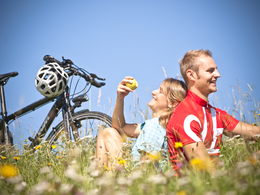
Natural Park Bike Path


The Mühlviertel Natural Park is a special attraction that is connected to the Natural Park Bike Path.
Sections with heavy motorised traffic are designated by signs: Perg-Rechberg, area of Schwertberg
Paths covering:
Whether for arriving or departing or even for transfers along the route of the biking tour, trains are an irreplaceable partner when it comes to biking. With the right information for planning purposes, your next biking tour is quickly brought on track.
You can take the train of the Donauuferbahn to Perg to arrive at the Natural Park Bike Path. The athletically challenging loop tour into the rolling hills of the Mühlviertel connects Perg via the Naarntal with the Rechberg Natural Park and the spa town of Bad Zell. You can return via the Waldaist- and Josefstal to the railway station in Schwertberg.
- Summer
Please get in touch for more information.
4320 Perg
Phone +43 7262 53150
E-Mail info@naturpark-muehlviertel.at
Web www.stadtmarketing.perg.at
Altitude profile - Natural Park Bike Path
Suggest changes
Please let us know how we can improve the quality of this object or if there is any incorrect information on this page (eg. opening hours, contact, etc.).
Please fill in all fields marked *.