


MTB - Grenzland tour


- Flatly
Interactive elevation profile
Create PDF
Tour-Details
Recommended season:
- April
- May
- June
- July
- August
- September
- October
- Loop
- Scenic
- Refreshment stops available
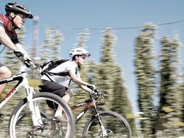
Steep climbs and fantastic descents are characteristic for this round.
Bike past the "Sarleinsbacher Naturbad" up to the Ameisberg, whose lookout (940m) is the highest elevation between the Danube and the Bohemian Forest and offers a panoramic view of the region. Continue to Kollerschlag through the new, generously designed marketplace, and directly to the German border (Gasthof Greiner – in the Kohlstatt).
From there to Julbach, also called "Meran of the Mühlviertel", and to Peilstein, where you come over the Kühstein to the village of Rutzersdorf. On beautiful natural paths you then drive uphill and downhill back to Sarleinsbach.


- Spring
- Summer
- Autumn
Please get in touch for more information.
Lindengasse 9
4040 Linz
Phone +43 732 7277 - 800
Fax machine +43 732 7277 - 804
E-Mail info@donauregion.at
Web www.donauregion.at
Interactive elevation profile
Create PDF
Tour-Details
MTB - Grenzland tour
Suggest changes
Please let us know how we can improve the quality of this object or if there is any incorrect information on this page (eg. opening hours, contact, etc.).
Please fill in all fields marked *.