


Nordic-Walking Raiffeisen-Runde


- All weather
- Suitable for families
- Flatly
Interactive elevation profile
Create PDF
Tour-Details
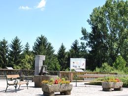
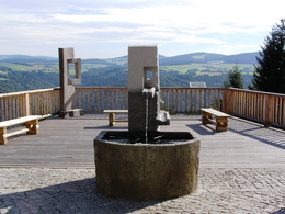
Starting place: 4091 Vichtenstein
Destination: 4091 Vichtenstein
duration: 1h 30m
length: 7,4 km
Altitude difference (uphill): 554m
Lowest point: 554m
Highest point: 774m
difficulty: easy
condition: easy
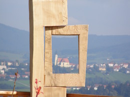
panoramic view: Great panorama
Paths covering:
Asphalt
powered by TOURDATA | Suggest a change
Nordic walking Raiffeisen circuit Starting point: viewing platform in front of the municipal office - past the church, at the primary school turn right along the fairytale hiking trail - from km 0.79 signposted Nordic walking route to the village of Achleiten - bus stop - cross the district road - gravel road towards Hütt - 500 m after km 3.77 turn right into the Dudlbach forest road (Donausteig) to the starting point.
further information:
- Flatly
Details - hiking
- themed path
Parking
- Parking space: 30
- All weather
- Suitable for groups
- Suitable for schools
- Suitable for kids (3 - 14 Year)
- Summer
Please get in touch for more information.
Vichtenstein 70
4091 Vichtenstein
Phone +43 7714 8055
Fax machine +43 7714 8055 - 31
E-Mail m.haderer@vichtenstein.ooe.gv.at
Web www.vichtenstein.at
http://www.vichtenstein.at
Interactive elevation profile
Create PDF
Tour-Details
Starting place: 4091 Vichtenstein
Destination: 4091 Vichtenstein
duration: 1h 30m
length: 7,4 km
Altitude difference (uphill): 554m
Lowest point: 554m
Highest point: 774m
difficulty: easy
condition: easy
panoramic view: Great panorama
Paths covering:
Asphalt
powered by TOURDATA | Suggest a change
Suggest changes
Please let us know how we can improve the quality of this object or if there is any incorrect information on this page (eg. opening hours, contact, etc.).
Please fill in all fields marked *.