


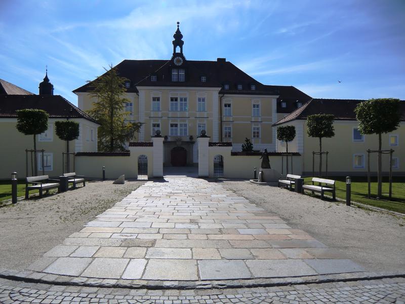
Langholzweg Nr. 46


- Flatly
Interactive elevation profile
Create PDF
Tour-Details
duration: 2h 18m
length: 8,3 km
Altitude difference (uphill): 153m
Lowest point: 383m
Highest point: 481m
difficulty: medium
powered by TOURDATA | Suggest a change
Please get in touch for more information.
Interactive elevation profile
Create PDF
Tour-Details
duration: 2h 18m
length: 8,3 km
Altitude difference (uphill): 153m
Lowest point: 383m
Highest point: 481m
difficulty: medium
powered by TOURDATA | Suggest a change
Suggest changes
Please let us know how we can improve the quality of this object or if there is any incorrect information on this page (eg. opening hours, contact, etc.).
Please fill in all fields marked *.